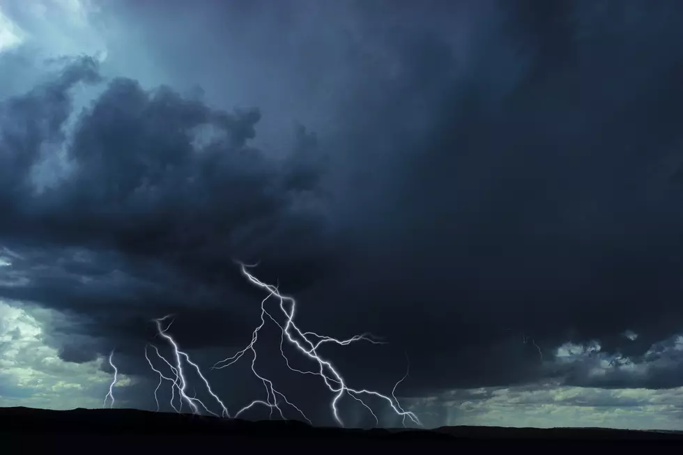
Entire Tri-State Under Slight Risk for Severe Weather Late Tuesday and Wednesday Nights
The Tri-State has enjoyed a nice run of spring weather over the past few days, but it looks like that will come to an end with the threat of more severe weather late Tuesday night into early Wednesday morning, and again late Wednesday night into early Thursday morning.
According to Eyewitness News Chief Meteorologist, Wayne Hart, the entire Tri-State is under some risk of severe weather both nights, with southern Indiana under a marginal risk Tuesday night, and our entire area under a slight risk Wednesday night.
When we spoke to Ron Rhodes this morning, he gave us a more specific time frame, and what exactly we could be in store for.
Here's where the Slight risk stands on the National Weather Service's scale of severity.

Hopefully we get lucky and things won't get too bad. But, in case keeping our fingers crossed isn't enough to keep the nasty weather away, be prepared to get into a safe place in your home, or where you work. As always, if any tornado warnings are issued for the Tri-State, we'll simulcast coverage from our media partner, Eyewitness News.
Finally, be sure to have our app on your phone and have notifications turned on to receive the latest updates as the storms enter the area. If you don't have it, enter your phone number in the box below to get it for free.

[Source: National Weather Service / Wayne Hart]
See the Aftermath of Saturday Night's Severe Storm in Newburgh
More From WKDQ-FM