Winter Weather Advisory for Daviess and Henderson, KY and Union, Spencer, Pike, Warrick, Vanderburgh, Gibson and Wabash Counties in Indiana
Winter Weather Advisory in effect from noon Monday to 6 am CST Tuesday
That National Weather Service in Paducah, KY - The National Weather Service in Paducah has issued a Winter Weather Advisory for snow, sleet and freezing precipitation which is in effect from noon Monday to 6 am CST Tuesday.
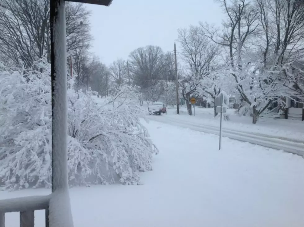
Amounts: one to two inches of new snow and light accumulations of freezing precipitation and sleet are possible across the advisory area generally along and north of a line from Van Buren, Missouri, to Vienna, Illinois, to Owensboro, Kentucky.
Timing: precipitation in the form of snow will begin to move into the western half of the quad state Monday morning. Monday afternoon snow should be limited to the northern half of the region but Monday evening as temperatures begin to drop snow and freezing precipitation are possible in the advisory area. After midnight mainly just freezing precipitation is expected in the advisory area.
Main impact: snow and ice on roadways could make them very slick making travel very dangerous especially on bridges and overpasses. This will become more pronounced after dark as temperatures drop. Visibilities may be limited at times due to snowfall.
PRECAUTIONARY ACTIONS
A WINTER WEATHER ADVISORY MEANS THAT PERIODS OF SNOW SLEET OR FREEZING RAIN WILL CAUSE TRAVEL DIFFICULTIES. BE PREPARED FOR SLIPPERY ROADS AND LIMITED VISIBILITIES AND USE CAUTION WHILE DRIVING.
More From WKDQ-FM