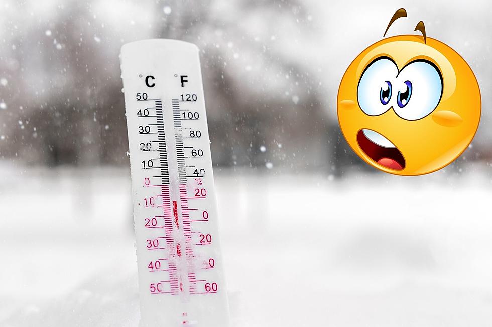
Say It Ain’t Snow – Southern Indiana Could See Accumulating Snow This Weekend
Remember how nice it was outside last week? The high temperature was in the 70s on Saturday. It was so nice my wife and I went for a walk around our neighborhood around 9:30 - 10:00 that morning and I wore shorts and a t-shirt. It was glorious. It certainly felt like winter was finally on its way out and Spring was slowly starting to take over. However, it seems that was just Mother Nature punking us as this week sees not only the return of cooler, and in some cases down-right cold temperatures, but also the chance for "accumulating snow" going into the weekend 😑.
When Will Southern Indiana See Snow This Weekend?
According to the seven-day forecast from the National Weather Service in Paducah, we'll see rain during the day on Friday with a high temperature in the mid-50s. That rain will continue into the night, but a cold front behind it will cause a roughly 30-degree drop in the temperature and change the rain over to snow.

We spoke with Eyewitness News meteorologist Joe Bird Tuesday morning to get the latest info, and he said there was some good news and bad news. The bad news (depending on your feeling toward snow in general) is that the models continue to show a good chance we see snow on Friday, and that it could begin in the afternoon which may lead to slippery road conditions for the drive home. The good news is, the same models that were showing the potential for 8 to 9 INCHES(!!!) of snow, are now showing somewhere between one to two. Joe was quick to note that it was still too early to tell, and things could easily change as we get closer to the weekend.

What's the Latest Day We've Seen Snow in Evansville?

Maybe it's the fact we had a little taste of Spring last week, but to be looking at the possibility of snow in mid-March feels kind of late. Out of curiosity, I did a little research and found it's not terribly uncommon for us to see some snow this time of year. As a matter of fact, several of our historic snowfalls over the past 70 years have happened in the month of March according to data from the National Weather Service.
However, we have had snowfall much later in the year than that, and relatively recently too.
I asked Joe Bird if he happened to know the latest date in the year we've received measurable snowfall in the area. After doing a little digging through the National Weather Service records, he found it happened just last year. April 20th, 2021 to be exact when we received 1.3 inches (photos below). Joe did make a point to say the records only go back to 1948, so it's entirely possible it has happened later than that at some point prior to then. Let's hope that record stays unbroken for years to come because I don't mind snow, but I don't want it in the Spring.
[Sources: National Weather Service / National Weather Service Snowfall Climatology]
Cool Photos from the April 20th, 2021 Snow Showers in the Tristate
KEEP READING: Get answers to 51 of the most frequently asked weather questions...
More From WKDQ-FM


