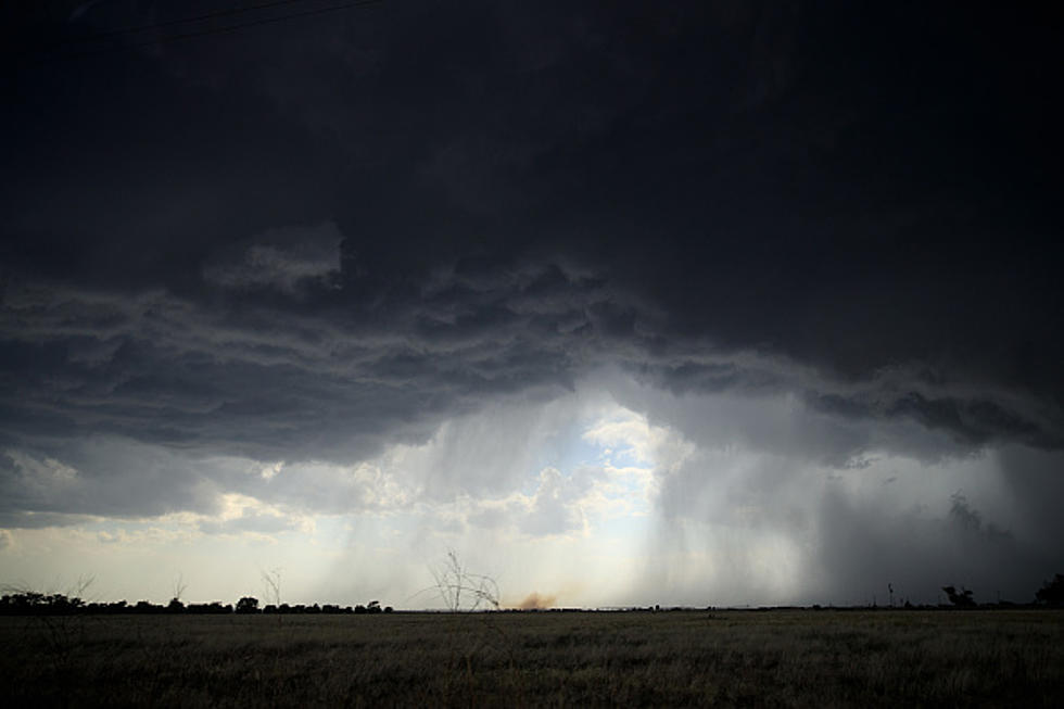
National Weather Service Monitoring Possible Severe Weather Event in KY, IN and IL Friday
It's going to be a relatively mild week of weather in the tristate. However, our good fortune is set to expire on Friday. The National Weather Service Storm Prediction Center is alerting folks throughout a huge swath of the Central U.S. to be on their toes and have their eyes to the sky at the end of the week.
On Monday, the SPC shared this on social media:
Attention shifts toward the Central U.S. Thursday & Friday (March 30-31). More widespread/intense severe potential is expected Friday, with all hazards possible.
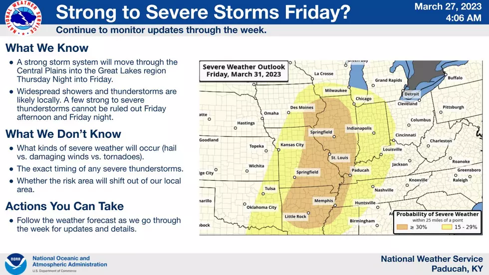
At this point, and it's too early to tell exactly how this will play out, but the majority of Illinois is facing an enhanced risk of severe weather Friday. That includes virtually all of southern Illinois. As of the current forecast, the majority of western Kentucky and southern Indiana are facing a slight risk of severe weather.
Here's the current projection map from the National Weather Service office in Paducah.
I am a huge fan of extreme meteorologist Reed Timmer. He has already shared his thoughts about and outlook for Friday and notes a "pattern we see every ten years or so."
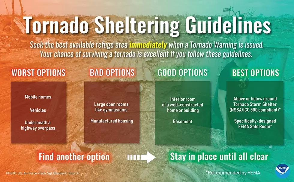
In advance of developing storm systems, the National Weather Service reminds you to make a severe weather plan. Though it's a bit premature to discuss the possibility of tornadoes on Friday, it's not too early to discuss tornado preparedness.
Here at Townsquare Media Evansville/Owensboro, we have a weather partnership with Eyewitness News. If a severe weather outbreak occurs and those storms become tornadic, we'll keep you updated through our radio stations, websites, mobile apps and social media sites.
To get up-to-date news and weather alerts, you can download our station app as part of your preparation plan.

KEEP READING: What to do after a tornado strikes
More From WKDQ-FM