Evansville Area Under Enhanced Risk for Severe Weather Monday Through Tuesday
UPDATED: MONDAY, MAY 3RD AT 2:25 P.M.
The Storm Prediction Center has downgraded our area from an Enhanced Risk for severe storms to a Slight Risk. Damaging winds and hail are still the main threats.

ORIGINAL STORY
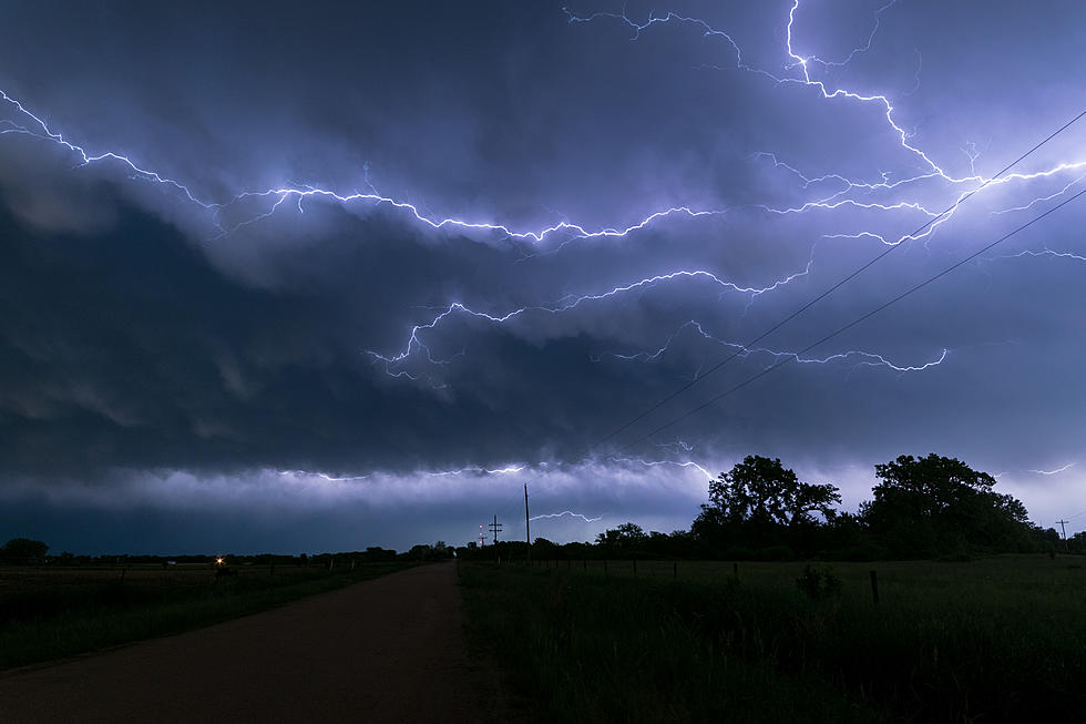
For the most part, we've been pretty fortunate this spring in terms of the weather. Outside of a few rounds of heavy rain here and there, it's been a relatively quiet severe storm season for the Tri-State. It looks like that may no longer be the case today and tomorrow.
According to the National Weather Service in Paducah, Kentucky, the entire Tri-State is under an enhanced risk for severe weather over the next 36 to 48 hours. The first, and main, threat will roll into the area later this evening and into the overnight hours because, for whatever reason, Mother Nature doesn't like doing things during the day. The second threat is expected to enter our area later in the day Thursday afternoon however, they don't expect it to bring the same potential level of intensity as round one. Although we are talking about the weather, so that could change at a moment's notice.
The main threats later this evening and overnight will be damaging winds and hail. They also not ruling out the possibility of an isolated tornado popping up.
The National Weather Service grades severe weather threats on a scale of one to five with one being "Marginal" and five being "High." The Enhanced risk puts us smack in the middle of that grading scale.

Of course, in the event things get really bad to the point where you and your family may be in danger, we will simulcast coverage from our media partners at Eyewitness News. Be sure to have our app on your phone to receive notifications and listen live in the event that happens.

[Source: National Weather Service]
TIPS: Here's how you can prepare for power outages
LOOK: The most expensive weather and climate disasters in recent decades
Gallery Credit: KATELYN LEBOFF
More From WKDQ-FM