Southern Indiana Winter Storm: Temps Below Zero Expected for Days, Accumulating Snow
If you were disappointed that we didn't get any snow in Southern Indiana last weekend, get ready because the updated forecast includes more than just flurries.
Source: Three Weather Forecasting Outlets
I could just tell you that my body feels like a lot of rain is coming our way. Then by tomorrow afternoon, I could tell you that we are in for some snow. A lot of people had terrible headaches yesterday due to an extremely low-pressure system. With that came more rain. But you would probably be more comfortable if the forecast came from an actual meteorologist.

US National Weather Service Paducah Kentucky
Evansville, IN broke their January lowest barometric pressure record today. They got down to a pressure of 985.7 mb at 1 pm this afternoon. The previous record was 987.7 mb on January 10th, 1975.

Drastic Change in Temperatures
Friday, January 12 the high temperature in the Evansville, Indiana area will be around 50. We can expect plenty of heavy rain and wind. Thankfully, the National Weather Service Paducah Kentucky says that we should not have any tornado threat. Here's where it gets tricky. The low on Friday night will be 23 degrees. The rain that will still be falling will turn into sleet or snow, but that is just the tip of the iceberg - literally.

Sunday Through Tuesday Arctic Blast and SNOW
Let's start with the extremely dangerous temperatures that will stick with Southern Indiana for several days. Sunday's high will be around 20 degrees, and the low will be in the single digits somewhere between 3 and 7 degrees. It will be even colder overnight Monday into Tuesday. The highs for the rest of the week will only be in the 20s and the nightly lows in the teens.
It is very difficult to nail down the exact amount of snow that we will see in Southern Indiana. Saturday seems to be clear at this point. The winter storm will move in on Sunday and stay with us through Tuesday. The Weather Channel is predicting snow showers Sunday morning with 1 to 3 inches of accumulation. Then Sunday night we could see another 1 to 3 inches of snow. So, possibly 4 to 6 inches by Monday.

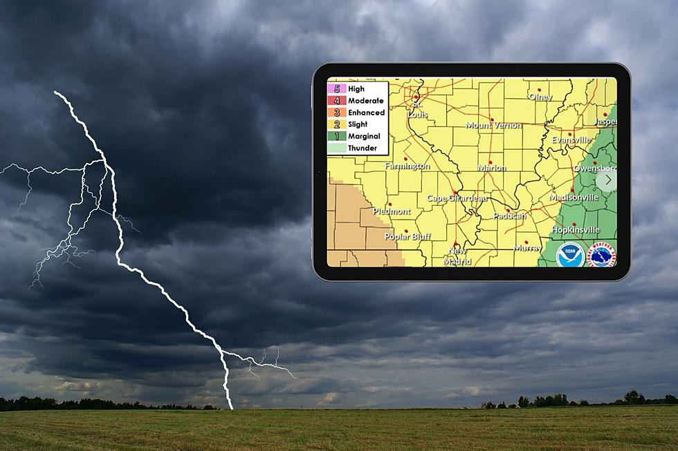
The National Weather Service forecast agrees with the life-threatening dangerously cold temperatures. This is the really important factor over the weekend and into the work week. As far as snow accumulation goes, it appears to be soon for the models to settle on an amount.
Good chance of accumulating snow Sunday night into Monday, but the source of lift will make totals/placement very tricky to nail down.
Metrologist Ron Rhodes with WEHT did not specify any amounts of snowfall for Sunday. He did tell me that we will see, "Inches, plural. A little bit more than a little bit."
So, I guess that means the grocery shelves will be empty by Friday.
Read More: Why Do Hoosiers Buy All of the Bread and Milk Before a Snowstorm?
25 Indoor Activities for Kids in Southern Indiana This Winter
Gallery Credit: Bobby G.
LOOK: Biggest snowfalls recorded in Indiana history
Gallery Credit: Stacker
This Historic Indiana Schoolhouse Makes for the Perfect Cozy Winter Getaway
Gallery Credit: Melissa
More From WKDQ-FM