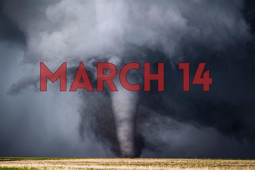
Tri-State Tornado Watches and Warnings – March 14, 2024
March 14, 2023
From the National Weather Service: Active strong to severe storms are approaching the Quad State region, where a Tornado Watch is in effect. Refer to the Watch and any subsequent Warnings and statements for details.
Tornado Warning for Northeastern Dubois County in south central Indiana Central Orange County in south central Indiana until 1115 PM EDT. At 1050 PM EDT, a severe thunderstorm capable of producing tornado was located 10 miles west of Paoli, moving east at 50 mph.This dangerous storm will be near Paoli around 1100 PM EDT.
The National Weather Service in Indianapolis has issued a Tornado Warning for Southern Martin County in southwestern Indiana Southeastern Daviess County in southwestern Indiana until 1100 PM EDT. At 1033 PM EDT, a severe thunderstorm capable of producing a tornado was located 9 miles north of Jasper, or 19 miles east of Petersburg, moving east at 45 mph.
The National Weather Service in Louisville has issued a
Tornado Warning for Northern Dubois County in south central Indiana Northwestern Orange County in south central Indiana until 1100 PM EDT. This tornadic thunderstorm will remain over mainly rural areas of northern Dubois and northwestern Orange Counties, including the following locations... Hillham, Thales, Portersville, West Baden Springs, Norton, Prospect, French Lick Municipal Airport, French Lick, Crystal, and Haysville.
* At 1028 PM EDT, a severe thunderstorm capable of producing a tornado was located 9 miles northwest of Jasper, moving east at 45 mph.
Tornado Warning for Dubois County in south central Indiana Until 1100 PM EDT. Other locations impacted by this tornadic thunderstorm include Dubois, Celestine, Saint Marks, Millersport, Dubois Crossroads, Norton, Mentor, Birdseye, Kellerville, and Haysville.
*At 1026 PM EDT, a severe thunderstorm capable of producing a tornado was located near Winslow, moving east at 50 mph. * This dangerous storm will be near Jasper around 1030 PM EDT.
TAKE COVER NOW! Move to a basement or an interior room on the lowest floor of a sturdy building. Avoid windows. If you are outdoors, in a mobile home, or in a vehicle, move to the closest substantial shelter and protect yourself from flying debris.

Mother Nature's Beauty and Power Captured By Evansville Photographer, Tom Barrows
KEEP READING: Get answers to 51 of the most frequently asked weather questions...
More From WKDQ-FM


![4 (Fore?) Things Golf Courses Need to Stop Doing [OPINION]](http://townsquare.media/site/71/files/2023/06/attachment-Golf-Courses-Stop.jpg?w=980&q=75)