Heavy Rain and Flooding Possible for Southern Indiana and Western Kentucky Thursday and Friday
Have your umbrella, rain jacket, rain boots, and maybe even an ark ready because the rain is a-comin' to southern Indiana and western Kentucky later this week, and quite a bit by the sound of it.
March Showers Bring March...Flooding?
Spring is great for so many reasons. They're not too hot. They're not too cold. Like a bowl of porridge being eaten by a young home intruder, they're juuuuuuusssst right. Perfect for a day on the golf course, working in the yard, or enjoying a lovely walk at your favorite park. But, like with everything, there are pros and cons, and Spring is no exception.

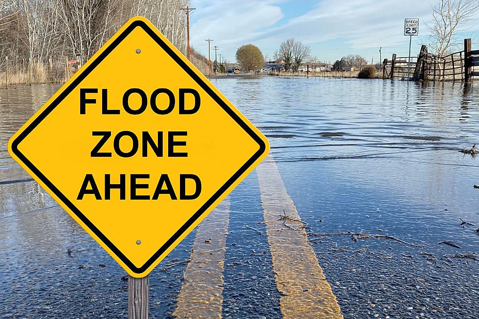
As we know all too well in Indiana and Kentucky when the warm air of Spring works its way into the area and tries to release us from the icy grip of Winter, the clash of warm air and cold air usually ends up with us at least getting rained on. Sometimes it can be worse. I mean, it's no coincidence this time of year is also severe weather season. Fortunately, what the National Weather Service offices in Paducah and Louisville are forecasting for later this week doesn't include any damaging winds or tornado threat. Unfortunately, what they are forecasting is heavy and large amounts of rain which could cause flooding issues around the area.

According to its data, practically all of western Kentucky and about three-fourths of the entire state of Indiana will likely experience a significant amount of rain that will begin Thursday night (March 23rd) and will finally come to an end nearly 24 hours later on Friday night. When all is said and done, most of our area (inside the scary-looking red blob in the graphic above) will have had anywhere between two to four inches of rain dumped on us by Mother Nature.
Of course, we are talking about the weather here, and like they say in the graphic (see the full-size version on the NWS Paducah Twitter account), things could change and that scary-looking red blob could shift which would affect how much rain we receive depending on which way it shifts.
With that said, the National Weather Service issued a Hydrologic Outlook Tuesday afternoon that advises anyone living in an area prone to flooding to "review your flood safety plan" so you're ready in the event we get what they think we might.
[Source: National Weather Service, Paducah, KY on Twitter / National Weather Service]
KEEP READING: Get answers to 51 of the most frequently asked weather questions...
More From WKDQ-FM


